National Park Trail - Nationaal Park Hoge Kempen - 106,7 km
The National Park Trail is a long-distance hiking route of just over 105 km that shows you the most beautiful spots of the Nationaal Park Hoge Kempen.
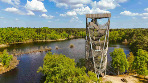
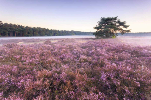
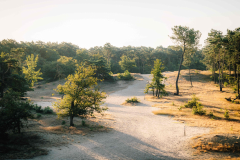
Extensive description CloseThe National Park Trail holds many surprises: seven climbs, extensive heathland, beautiful ponds, vast water bodies, dunes, and fragrant woodlands. It is one of the few hikes in Flanders where you encounter little development and/or traffic over more than 100 km.
An exclusive National Park topographic map guides you over the National Park Trail and can be purchased in our webshop.
Read more on nationalparktrail.be
Stage 2 Pietersheim - Terhills: There is a temporary detour near the Kikbeekbron. Due to nature management works, a small section of the Trail will be closed between August 1 and December 31, 2025. Please follow the temporary detour signposted at the location.
Distance
Average time
Ascent

Start points
-
Gateway Mechelse Heide
-
Gateway Kattevennen
-
Bergerven: starting point Kerkplein Opoeteren
-
Gateway Thorpark
André Dumontlaan 67 , 3600 Genk -
Gateway Pietersheim - Watercastle
Waterstraat 52 , 3620 Lanaken -
Gateway Terhills
Zetellaan 54 , 3630 Maasmechelen
Practical info

Public transport

Parking

Hospitality
All practical info about routes, stages, accommodations, starting points, and more can be found at nationaalparktrail.be