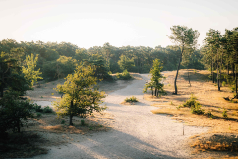
Long Distance Hiking KempenBroek - KempenBroek - 103,4 km
The long-distance hiking trail KempenBroek guides you past the most beautiful spots of the Man & Biosphere reserve. You can also choose to shorten the route at various points.
Extensive description CloseThe hiking route is signposted in both directions with the dragonfly logo. There are plenty of access points. There is sufficient parking and usually a hospitality venue at the parking or near the starting point. You will find an overview board with the entire route there. These access points are often also the starting point of the local hiking areas. You can find the map with the complete long-distance hike on the Regional map KempenBroek, which you can purchase in the webshop.
Distance
Average time
Ascent

Start points
-
Stramprooierbroek - starting point Woutershof Grootbroekstraat Kinrooi
Grootbroekstraat 46 , 3640 Kinrooi -
Smeetshof - starting point 't Vosseven
-
Smeetshof - starting point Smeetshoeve
Smeetshofweg 1 , 3950 Bocholt -
Bosbeek Valley - Starting Point Castle of Wurfeld
Kapelweg 60 , 3680 Maaseik -
Zig and Goort - starting point Doorslagstraat in Kinrooi
Doorslagstraat , 3640 Kinrooi -
IJzeren Man & Laurabossen - Starting point parking Lozerweg Weert
Lozerweg 119 , 6006SR Weert
Practical info

Public transport

Parking

Hospitality
- Dog park
- Sturdy shoes or boots recommended after wet periods
- Beware of processionary caterpillars
- Slippery: paths, steep slopes, and stairways can be muddy and slick.
- Picnic bench(es) available along the route
- Camper parking at the starting point
- Bivouacking possible / bivouac area available